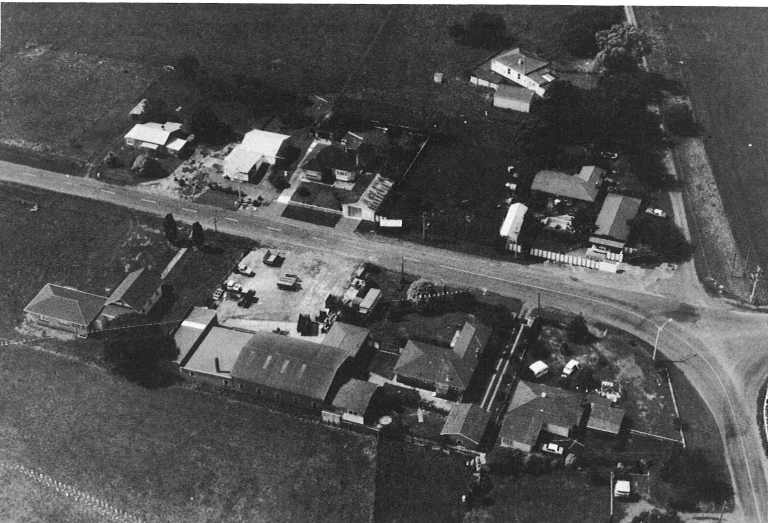
settlement image
tauwhare aerial photo
list_order
8

THE POST OFFICE

A Post Office opened in "Tauwhare" on the 1st February1884 with Mr R. Williamson as Postmaster. In 1885 Mr T. N. Diprose became Postmaster. Thereafter, the hotel keeper, his family or local women were in charge of the Office until 1921. We do not know the opening hours.

THE HOTEL·ACCOMMODATION HOUSE

On the 28th November 1882 Messrs E. Mahoney and Son, Architects of Auckland, invited tenders for the erection of a two-storied hotel and other buildings at Tauwhare. This was a week before the Auction of town sections and farmlets.  The hotel was built by the Waikato Land Association. Because of its height and the absence of trees in the vicinity, it was visible for many miles, and was described as being "conveniently placed on the main coach road to Thames from Cambridge and Hamilton".

THE EUREKA DRAINAGE BOARD

This came into being in 1903. Prior to that, any major drainage work in Tauwhare was done by the Hauraki Drainage Board or the Tamahere Road Board.
In February 1890, Mr G. Walworth and others asked the Road Board to lower the outfall of the Waitakaruru Stream. The Board agreed to pay Seven pounds out of a total cost of Twenty one pounds. Mr Walworth operated the Store and Temperance Hotel, which had holding paddocks at the rear, probably prone to flooding.

Tauwhare Roads

The formation of roads and building of bridges up to 30 foot span was primarily the task of the Tamahere Road Board which was formed on the 6th November 1872 under the provisions of The Highway Boards Empowering Act 1871.  The annual meeting of ratepayers held in January 1873 elected Patrick Leslie of Tamahere, Chairman. He farmed 950 acres near the gully which bears his name on State Highway One. He called his farm Wartie, after his family estate in Scotland -Wart Hill.

THE PUKEMOREMORE AND KAROKARO BLOCKS

The southern part of the Tauwhare district was part of the Tamahere Native Reserve, shown on an 1867 map of "Waste Lands Open for Sale at Auckland". The price of first class land was fifteen shillings per acre, second class ten shillings, third class and swamps five shillings. The Karokaro block was east of the Confiscation Line and therefore not part of the confiscated territory, but the Pukemoremore block was a part.

SCOTSMAN'S VALLEY

"He panehe toki, ka tu te tangitangi kai".
A little stone adze will fell large trees. Ultimately the cleared land will produce quantities of food.
(Reed's Maori Proverbs).
Scotsman's Valley was earlier known as Whyte's Valley after J. B. Whyte who bought 7163 acres for One pound per acre in October 1876.  This land was in Scotsman's Valley and the Tahuroa Road area, being part Tahuroa number one plus Tahuroa 3 and 4 blocks.